
project-hero.webp
Project
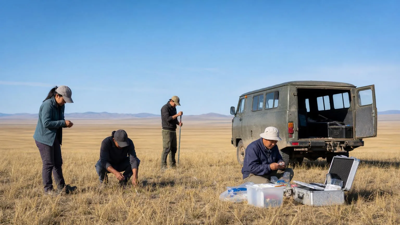
Dry season waterpoint mapping
Recording where herds can still reach water when the season runs long.
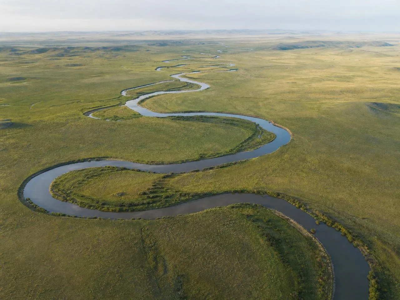
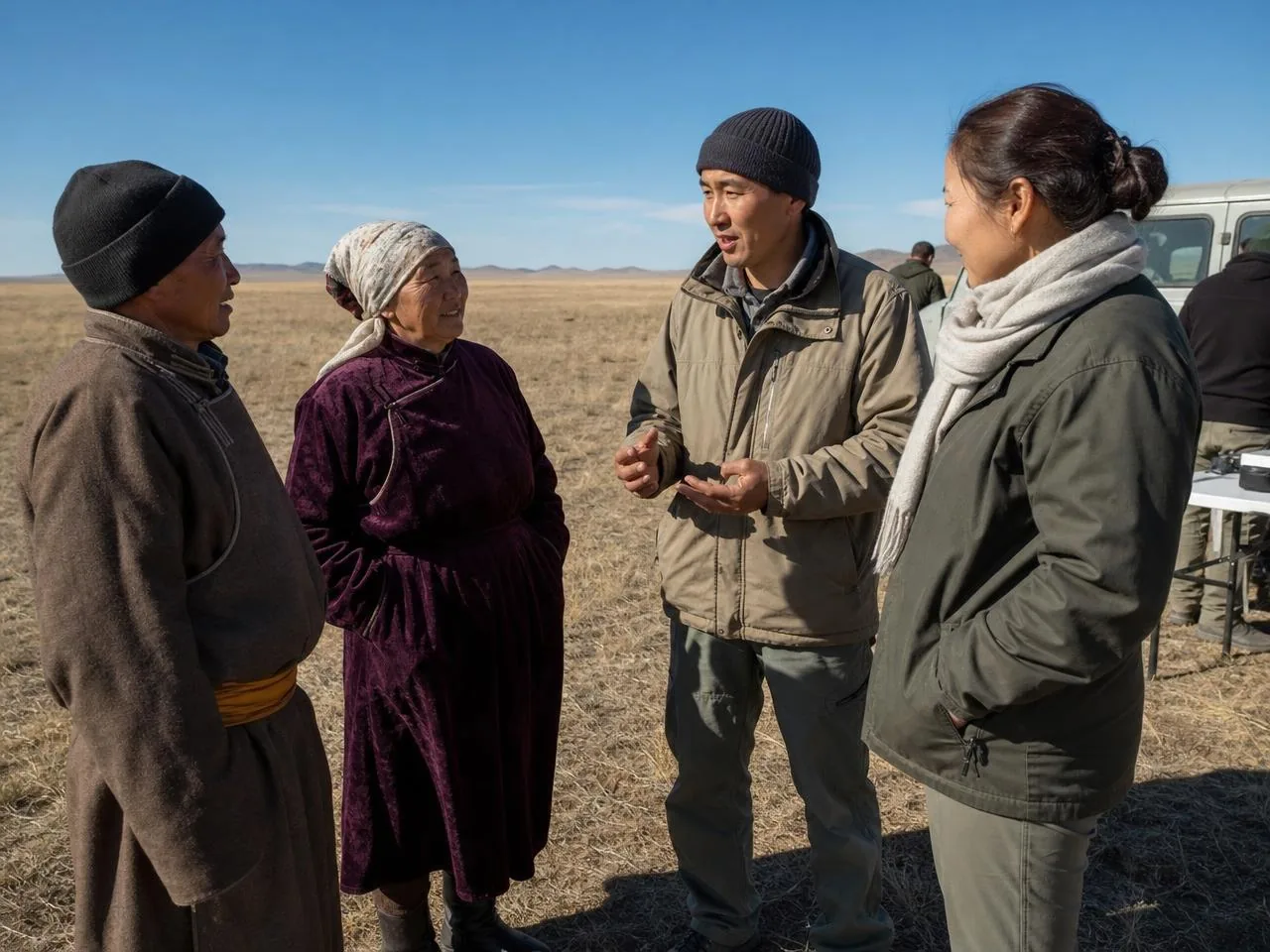
In a dry year the distribution of surface water, not forage, decides where herds can go. Much of that information existed only in the heads of the herders using the land.
A single field season recorded and mapped the waterpoints still reachable in late summer, alongside the ones that had failed within living memory.
Outcomes
70
waterpoints recorded
1
dry season surveyed
24
herders interviewed
project-gallery-a.webp
project-gallery-b.webp
project-gallery-c.webp
Related
More projects
Support our work
Keep them moving
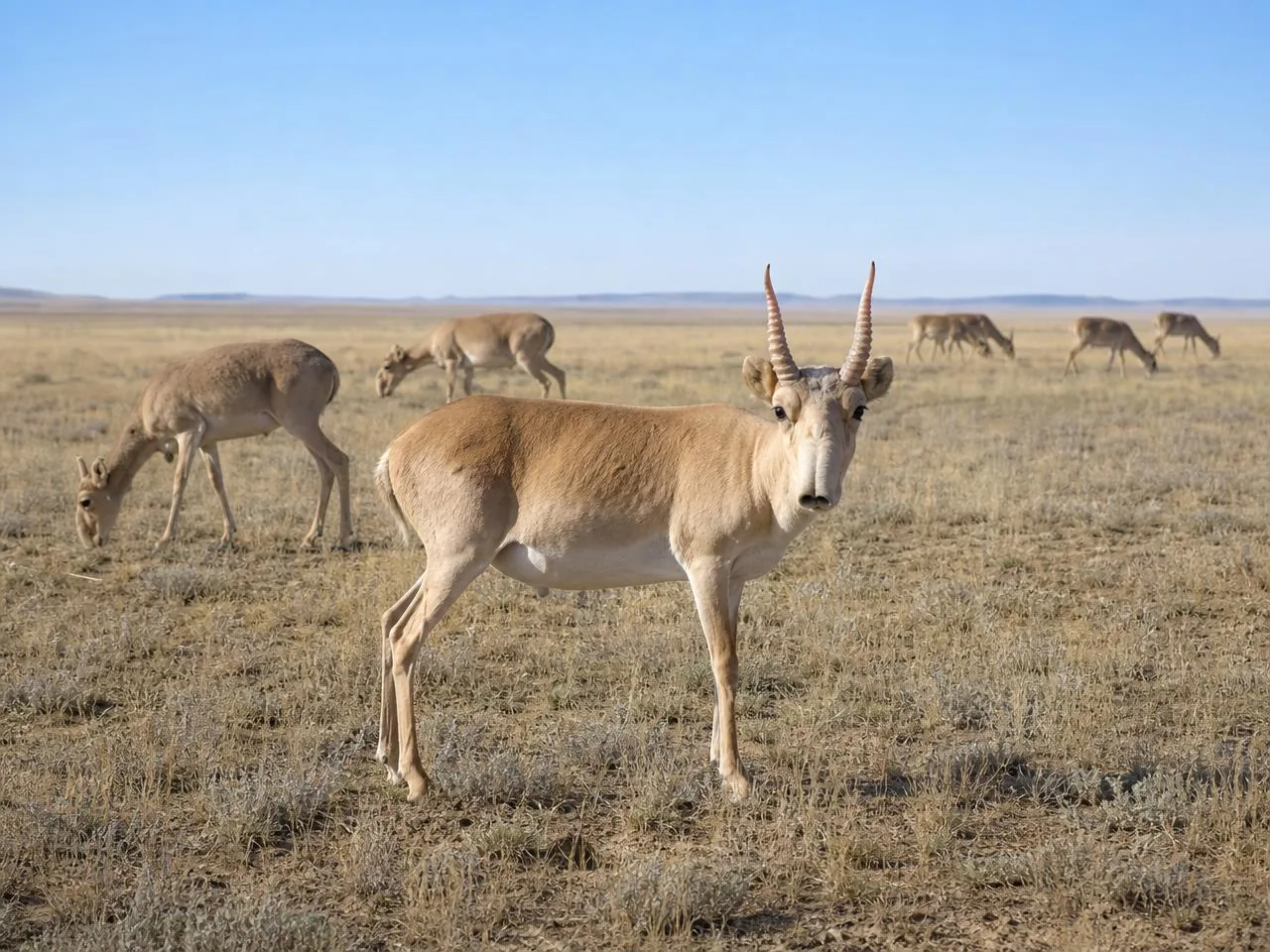
Saiga herds cross hundreds of kilometres of open steppe every year. Your support helps keep those routes open, protected and safe.